Penobscot Bay
Marshall Point to Isle au Haut
Penobscot Bay
Marshall Point to Isle au Haut

Dream of perfect cruising grounds, of islands large and small, grand and modest, of intriguing harbors and alluring towns, of broad reaches and narrow tickles, of gritty fishing villages and sophisticated summer resorts, of lonely outposts lost in time. There is such a place, and the place is Penobscot Bay.
Against the mountainous backdrop of the Camden Hills to the west, Penobscot Bay spreads 40 miles long and 15 miles wide, graced by more than 200 islands. Between them lie great stretches of open water and small, winding thoroughfares. Along their shores are bustling fishing communities, quaint villages, isolated outports, and uninhabited beauty. This is the heart of cruising in Maine, and some of the best cruising in the world.
The winds are generally moderate and predictable, and the dangers are well marked. Here there are gentle sails with sunsets behind the Camden Hills, or exhilarating passages, rail down, surrounded by an ever-shifting scene of dark islands and distant headlands. There are winding thoroughfares to thread, endless gunkholes to explore, and a hundred harbors tucked away.
At the entrance to the bay are the outlying islands, remote and hard to visit: lonely, sea-swept Matinicus Rock, where puffins fly between your masts at sunrise; Ragged Island and Matinicus, the most seaward communities on the coast of Maine; and Metinic, Green, Seal, and Wooden Ball Island.
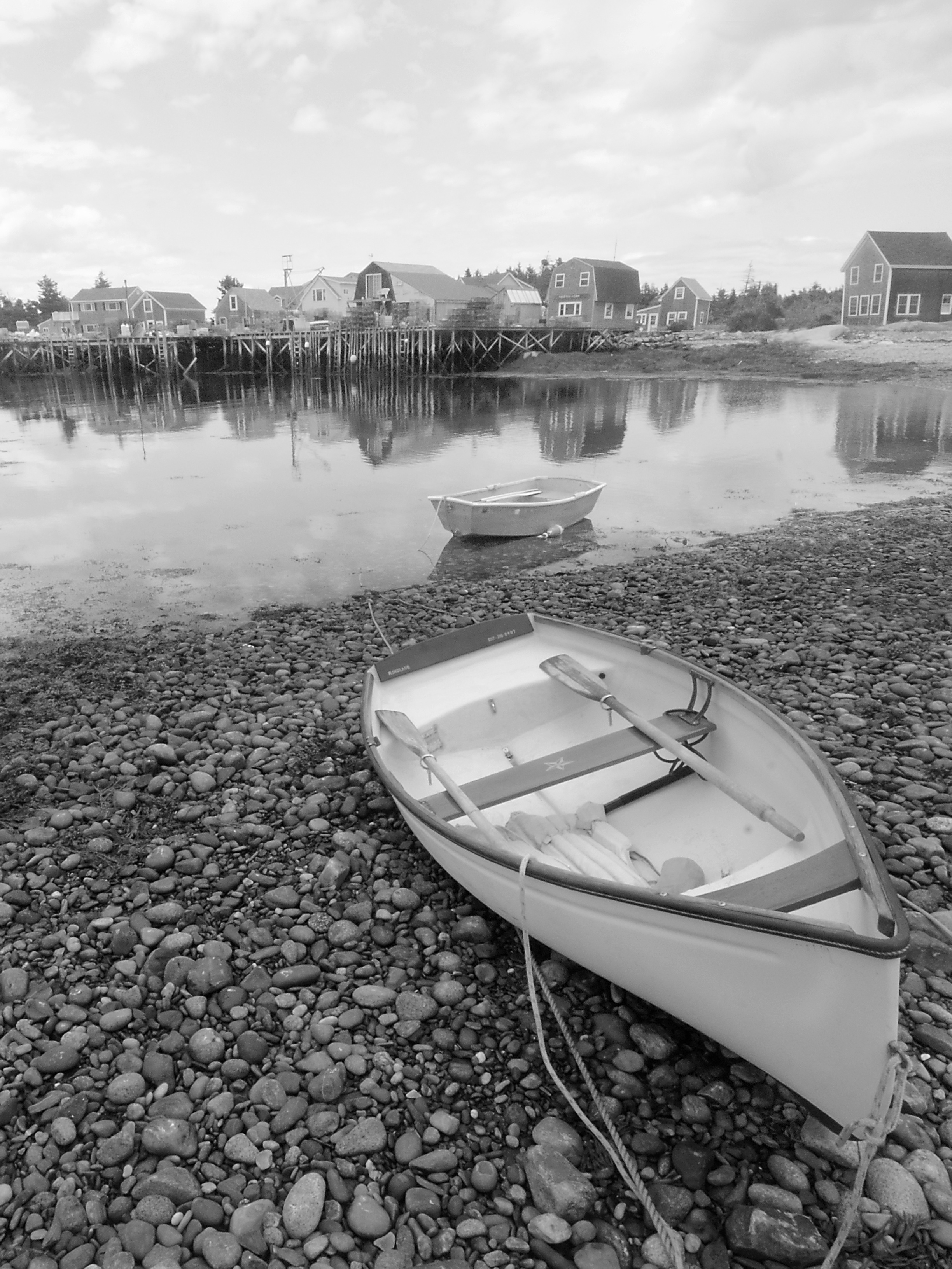
The shores of Penobscot Bay form a variety of interesting harbors, from safe and welcoming Tenants Harbor to the very different towns along the western shore—the vast harbor of Rockland, small and charming Rockport, and beautiful Camden nestled at the base of the Camden Hills.
Camden Harbor holds the largest fleet of windjammers on the Maine coast. Seeing these majestic vessels under the press of their sails is another joy in cruising the bay.
Tankers, tugs and tows, cargo ships, and container vessels steam northward up Penobscot Bay to the shipping ports of Searsport and Sears Island. A century ago, Belfast and Searsport were homeports to ships that sailed for every corner of the world and home to hundreds of sea captains.
Bangor lies up the Penobscot River, 24 miles past Fort Knox. Originally, it was a brawling frontier town and the lumber capital of the world. Castine sits strategically near the eastern head of the bay along the mouth the Bagaduce River. It was once a stronghold of the French, then later the British, and it was where America suffered its first great naval defeat during the Penobscot Expedition. It is now the home of the Maine Maritime Academy.
Bucks Harbor, Little Deer Isle, Deer Isle, and the broad passageway of Eggemoggin Reach lie south of Cape Rosier. On the eastern side of the bay, the fishing town of Stonington looks out on Deer Island Thorofare and the magnificent islands of Merchants Row. And at the eastern entrance of Penobscot Bay stands rugged Isle au Haut, much of which is part of Acadia National Park.
The islands of Penobscot Bay are as interesting as its shores. At the western entrance lies the archipelago of Muscle Ridge, once important for its granite quarries, now sparsely settled by fishermen. Among these islands and ledges are two or three anchorages that have hardly changed since Indian times.
In the center of the bay are the Fox Islands—the twin islands of North Haven and Vinalhaven. Separated by the narrow, winding, and altogether delightful Fox Islands Thorofare, they are separated also by a wider gulf. North Haven is a fashionable community settled long ago by Boston yachtsmen. Vinalhaven is a working island, where Carvers Harbor is the base for lobstermen, seiners, and draggers. Around the convoluted shores of the Fox Islands are some of the best harbors in the bay—Pulpit Harbor, Perry Creek, Winter Harbor, and many more.
Hurricane Sound lies off Vinalhaven’s southwest flank, with five separate entrances and a multitude of islands. Hurricane Island, the original home of Outward Bound School, is now an educational and research foundation. South of Vinalhaven, volcanic Brimstone Island stands all alone with twin crescent beaches of polished black stones.
Another scattering of islands lie beyond North Haven—Pond and Pickering, Butter, Eagle, Great Spruce Head, and the Barred Islands, to name a few. Islesboro divides the northern part of Penobscot Bay. This long and lovely island was also settled by Boston Brahmins, who established the fashionable summer and sailing community of Dark Harbor a century ago.
Lime was quarried on the western shores of Penobscot Bay for plaster and for mortar. Granite was cut in dozens of quarries, from Dix Island to Stonington. It was shipped in the holds of stone sloops and steamers to build the banks and post offices, museums and monuments, breakwaters, bridges, and cobblestone streets of Boston, Washington, Philadelphia, and New York.
Penobscot Bay has always been inextricably linked to the sea—with ship building, with shipping, with fishing, with lobstering, and with those who come here to enjoy it by boat.
The following is placeholder text known as “lorem ipsum,” which is scrambled Latin used by designers to mimic real copy. Aliquam bibendum, turpis eu mattis iaculis, ex lorem mollis sem, ut sollicitudin risus orci quis tellus. Vivamus a ante congue, porta nunc nec, hendrerit turpis.
The following is placeholder text known as “lorem ipsum,” which is scrambled Latin used by designers to mimic real copy. Nulla lectus ante, consequat et ex eget, feugiat tincidunt metus. Aenean eu justo sed elit dignissim aliquam.
The following is placeholder text known as “lorem ipsum,” which is scrambled Latin used by designers to mimic real copy. Nulla lectus ante, consequat et ex eget, feugiat tincidunt metus. Vivamus sit amet semper lacus, in mollis libero.